Project Overview
Full Project Title
Heat Extremes in Major Metropolitan Area of Texas: Fusion of High-Resolution Climate Model and Remote Sensing Data for Assessing the Human Exposure and Health Risks
Background
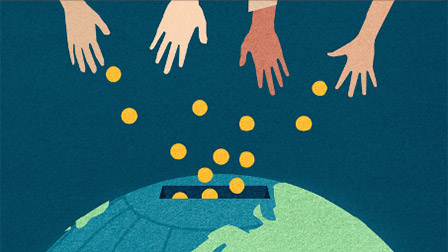
Heat extremes kill thousands of people globally every year. Even though the appearance of heat extreme episode is not as striking as other natural disasters, it is indeed the one causing the most economic losses as well as causality according to the report released by National Oceanic and Atmospheric Administration (NOAA). Therefore, it is notoriously dubbed as a ‘silent killer’. Heat extreme is also a global problem that has caused wide spread concerns and media coverage in tropical regions as well as regions traditionally having cooler summers.
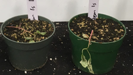
Heat extreme can cause acute effects in human health, leading to strokes and heart attacks, but also the lingering effect on public health. The negative health impact places particular burden on vulnerable groups (children, elderlies and those who have chronic diseases) and social-economically disadvantaged groups (such as those who lived in inner cities with no green space around, or population in developing nations without easy access to air conditioning). The associated issue of environmental injustice has caused great concerns in social science research in the last few years and urgently need an interdisciplinary solution.
Projected Goals
The overarching goal of this project is to generate such a comprehensive dataset of environment and demographical data, deliver the interpretation to stakeholders, and actively engage students and local residents in the process of
knowledge creation and dissemination.
The three tasks to achieve this goal are detailed below.
(1) Data generation.
We aim to quantify the meteorological heat extreme as well as the accurate
exposure of population in major US cities (especially in Austin, Houston, Dallas, and San Antonio in Texas and Florida). We will collect the temperature record from various sources including (a) the ground network of meteorological stations, (b) newly available remote sensing products based on land surface infrared retrieval, and (c) the newly developed high-resolution regional climate model coupled with land module.
These data sources have their own advantages and limitation. For example, the
remote sensing dataset have good spatial coverage over many urban areas and
enables easier scaling-up of our approach and generalization of knowledge gained, but the passive remote sensing suffer from uncertainties in its accuracy. Moreover, an important quantity for heat extreme health impact studies, the relative humidity, is poorly measured using remote sensing approaches. The third data source, high-resolution regional climate model, will help to extrapolate the missing data in any observation sources, but the model bias — when compared against with observations — should be properly adjusted for, before any rigorous scientific conclusion can be drawn.
(2) Data visualization and analysis
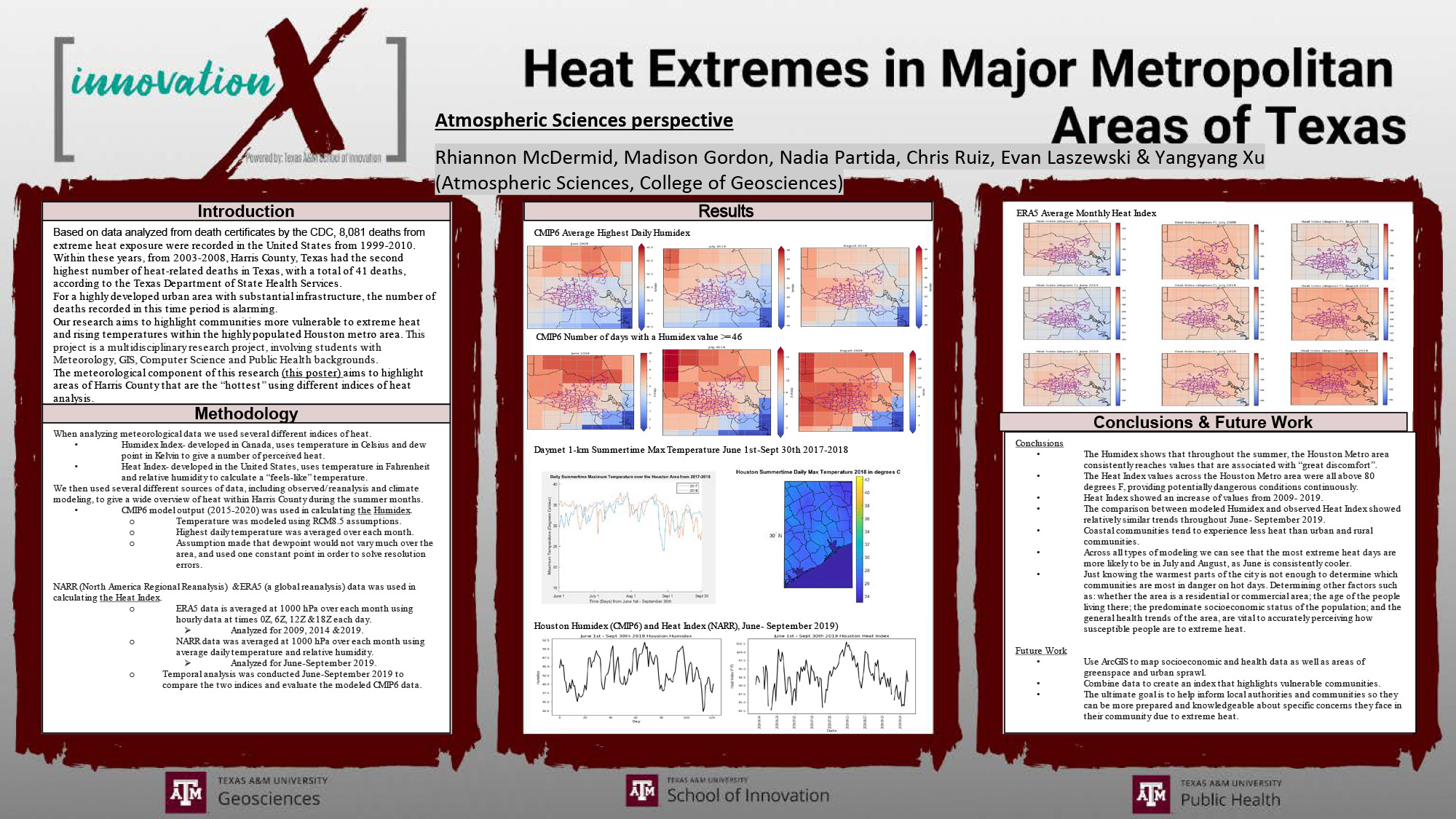
We will generate detailed maps of temperature, humidity, web-bulb temperature, heat index, and a few other quantities in high spatial resolution maps. The heat map will be overlaid over geospatial features, such as urban boundary, population, and building types, and coverage of greenspace, which enables further analysis.
The population dataset is another main novelty of this project, for which we will adopt a newly developed dynamic population dataset that tracks the diurnal (hour to hour) redistribution of urban population (e.g. due to commute for work). The heat exposure from the high-resolution meteorological dataset and dynamic population dataset will be a major step forward from the existing studies in which the results are mostly based on static population and rather coarse spatial dataset (e.g. one city may only have 5-10 data points over it).
(3) The synthesis and knowledge distribution.
We will write a report based on the main research findings in accessible language and present the report to the stakeholders at various cities. The main success of this project will be evaluated based on the reception and feedback provided by the stakeholders. We in particular aim to reach out to the health management community as well as social-economically disadvantaged community (in Houston area).
Projected Outcomes
The three tasks as proposed here will generate three distinct outcomes.
The fused dataset will be delivered via a visualization site (with google map or google Earth engine providing the spatial feature). The actual codes and data obtained as the end result will be shared via open sourced dataset and code repository, free of charge for academic use.
The data analysis results will be published in peer-reviewed journals, likely open-access to both climate and public health communities. The main authors of the papers will be the graduate student involved. The undergraduate students will also wrote first-author paper and publish them in student-only journal such as the LAUNCH journal here in the University.
The public report will be written in more accessible languages and distributed to public domain for free. The hard copied of the report will be mailed to relevant NGOs and governmental offices.
Results

Meet The Team
Team Leaders
- Dr. Yangyang Xu, Assistant Professor, Atmospheric Sciences, College of Geosciences; yangyang.xu@tamu.edu; (979) 845-8076(979) 845-8076
- Dr. Xiaohui Xu, Associate Professor, Biostatistics, School of Public Health
Graduate Student Team Members
- Chenrui Diao, Meteorology, College of Geosciences
- Vixey Fang, Epidemiology & Environmental Health, College of Public Health
Undergraduate Student Team Members
- Salvador Alanis, Business Honors, Mays College of Business (Fall 2019)
- Marissa Castillo, Environmental Geosciences, College of Geosciences (Fall 2019)
- Angelina Choi, Public Health, College of Public Health
- Bhatia Deepansh, Computer Science, College of Engineering (Fall 2019)
- Minaal Farrukh, Public Health, College of Public Health
- Madison Gordon, Meteorology, College of Geosciences
- Kendahl Hejl, Geographic Information Science and Technology, College of Geosciences
- Delaney King, Public Health, College of Public Health (Fall 2019)
- Evan Laszewski, Meteorology, College of Geosciences
- Isabella McCafferty, Public Health, College of Public Health (Fall 2019)
- Rhiannon McDermid, Meteorology, College of Geosciences
- Sophia Nguyen, Public Health, College of Public Health
- Tu Nguyen, Petroleum Engineering, College of Engineering (Fall 2019)
- Nadia Partida, Meteorology, College of Geosciences
- Christopher Ruiz, Meteorology, College of Geosciences