An Intelligent Spatial Decision Support System based on
Citizen Science for Driving Resilience in Coastal Communities
In this I[X] Team Spotlight, take a look at the team behind the research. Dr. Zhe Zhang will share why this project is important to the community and how her team of students will contribute to the project. Discover what compelled the students to select this particular Innovation[X] project to work on, and what valuable skill sets and unique perspectives they bring to the project.

Dr. Zhang, as the project leader, tell us why this project is so important to the community?
“The existing disaster information systems remain temporally imprecise, spatially vague, and do not consider social vulnerability and decision-making capabilities. In this project, we aim to design an interactive and collaborative spatial decision support system (SDSS) based on WebGIS, advanced cyberinfrastructure, and citizen science to improve situational awareness in disaster management. The proposed SDSS considers spatial and social vulnerability priorities to enhance knowledge elicitation and sharing among a diverse range of disaster responders and communities. We select Houston as our case study area due to the significant impact of hurricanes Harvey and Irma.”
What do you think your team of students can bring to this project?
“Our team consists of students from different departments at Texas A&M. By November 2020, all the students will participate in data collection and processing. They will collect incident data, critical infrastructure data, climate and weather events data, social media data, Census data, and survey-based data. After that, they will be divided into groups to conduct spatial analysis and programming work. In the project, students will develop various computational skills such as Geo-Python, WebGIS, Artificial Intelligence, and high-performance parallel computing skills. Students will also develop communication and team working skills through community meetings and international conferences and workshops. Students will also have opportunities to publish articles in high impact journals and conferences.”
As students, what made you chose this particular Innovation[X] project?
“I have been wanting to expand my knowledge of technology so I thought this project would be a good opportunity to learn about GIS. I also am thinking of potentially going to graduate school so I wanted to do some research to see if it is something I would be interested in doing. Along with these prior interests, I came across this project and thought the goal of helping with disaster management was very interesting so that is why I chose this particular project.”
– Francesco Previto, Management Information Systems Major
“It was a project using machine learning to help planning for natural calamities. It involves extracting information from social media feed and embed that information into decision making and routing algorithms to make disaster response more effective. As someone interested in working on machine learning it gives me a great opportunity to get know how it can be integrated with other algorithms.”
– Naga Prasanth Padarthi, Electrical Engineering Graduate Student
“I have worked on previous projects with the leader and other team members. Also, all the work we do has a lot to do with my major so getting this experience is a blessing.”
– Joseph Flores, Geographic Information Science & Technology Major
“I believe I can benefit a lot from this project. It is similar to the research that I am preparing to do and the methodology in this project can help me to further understand my research methods so that I can manage my research better in the future.”
– Shuyang Zhang, Geography Graduate Student
What part of the project will you be working on?
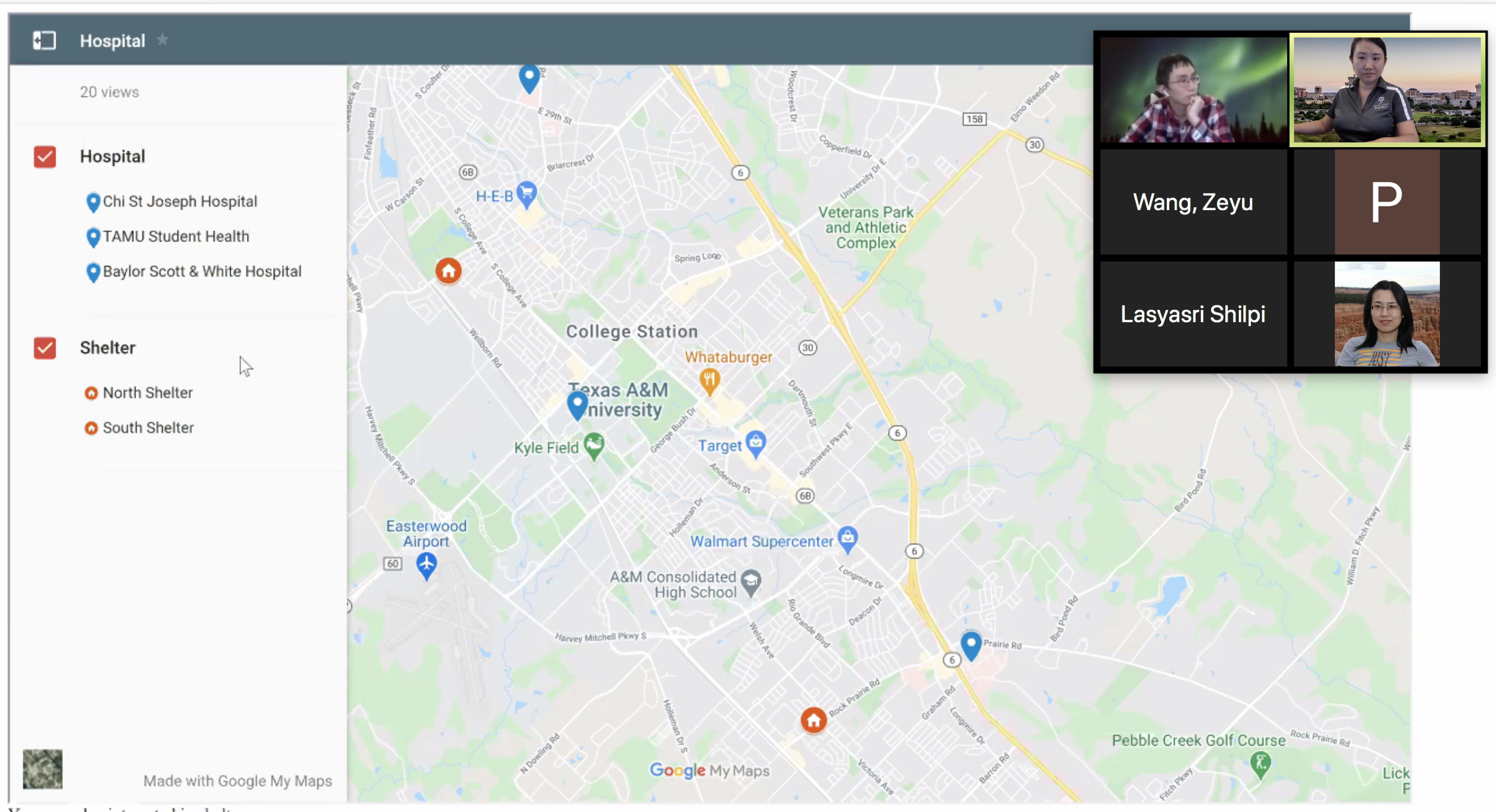
“I am currently working on data collection for the shelters, hospitals, and grocery stores and would like to help in data mining.”
– Jasmine Paredes, Environmental Studies Major
“Web app development, data collection, GIS and spatial decision support system.”
– Francesco Previto, Management Information Systems Major
“Contacting organizations and helping develop the programming interface.”
– Katelyn Wallace, Master of Geoscience – Petroleum Data Management Graduate Student
“I will be working NLP data mining part and routing algorithms part.”
– Naga Prasanth Padarthi, Electrical Engineering Graduate Student
“Collection of data, community engagement activities, web app development.”
– Joseph Flores, Geographic Information Science & Technology Major
“Twitter data layer, try to dig information from the twitter data.”
– Pei Chen, Computer Science Graduate Student
